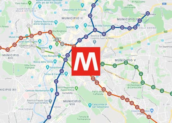
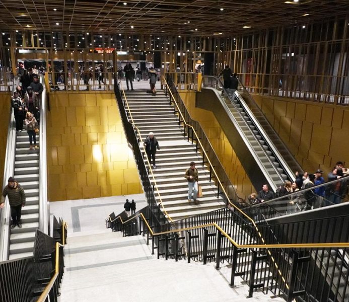
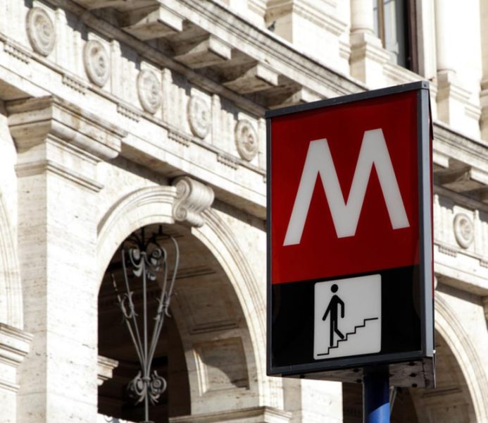
The metro in Rome is the fastest way to move comfortably on the vast and intricate urban map.
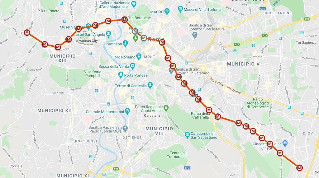
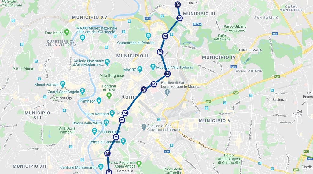
The metropolitan railway system of Rome extends from north to south and from east to west on the three routes made available by the municipality and managed by ATAC, the local public service concessionaire.
Rome Metro lines
The three lines, each defined by a specific color, are:
- Line A
Color: Orange
- Line B
Color: blue
- Line C
Color: green
The Rome metro is not particularly extensive, but allows you to easily reach most of the relevant areas and major sites of cultural and archaeological interest.
Line A Anagnina – Battistini
| Opening |
Extent |
Number of stations |
Travel time |
| 1980 |
18,4 Km |
27 |
41 min |
Line A extends from Battistini, north-west of Rome, to Anagnina, south-east.
Go to the interactive map
It allows you to reach some of the most important archaeological and cultural points of interest in Rome.
Metro station Ottaviano:
Metro station Spagna:
- Piazza di Spagna (on the square, to the left of the exit)
- Villa Borghese
- The Trevi fountain (5 minutes on foot, you’ll find precise directions on the monument page)
Metro station Barberini:
Line A: timetables
| First departure |
Last departure |
Last departure (Friday and Saturday) |
| 5:30 |
23:30 |
1:30 |
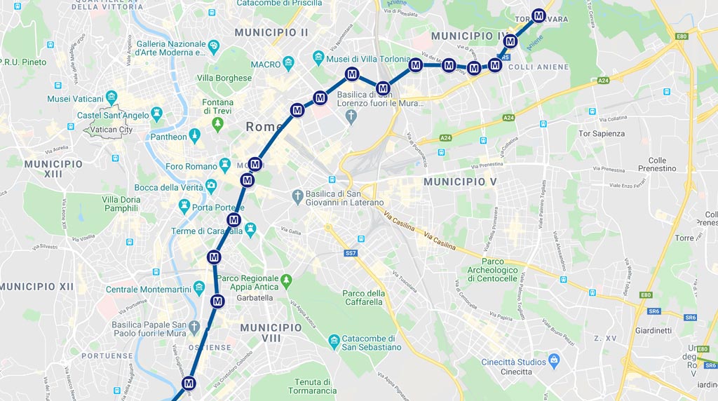
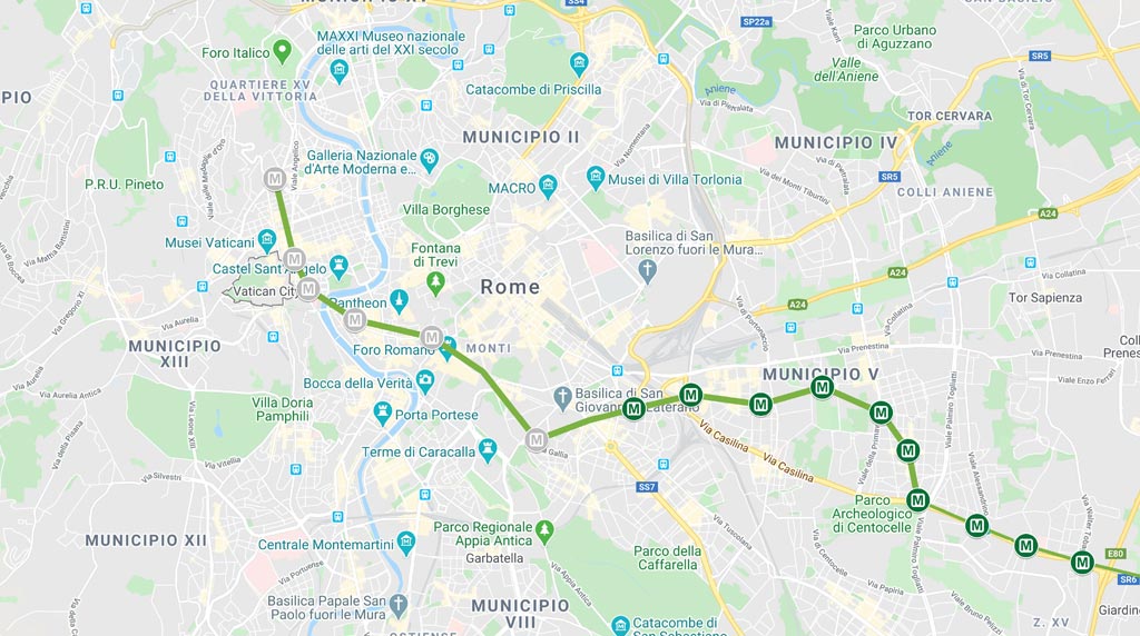
Linea B Laurentina – Rebibbia
| Opening |
Extent |
Number of stations |
Travel time |
| 1955 |
18,1 Km |
22 |
39 min |
Line B connects the areas north-east of Rome, Rebibbia and Jonio to the Laurentina area located in the south.
Go to the interactive map
From the Metro Colosseo stop you can visit:
- Colosseum (in front of the exit from the Metro station)
Forum Romanum (to the right of the exit)
Arch of Constantine (opposite the exit, to the right of the Colosseum)
Line B: timetables
| First departure |
Last departure |
Last departure (Friday and Saturday) |
| 5:30 |
23:30 |
1:30 |
Linea B1 Laurentina – Jonio
| Opening |
Extent |
Number of stations |
Travel time |
| 2012 |
17,2 Km |
19 |
39 min |
Line B1, inaugurated in 2012, uses the same route as B to the Metro Bologna stop. From here it heads north, reaching the areas of Monte Sacro.
Go to the interactive map
Line B1: timetables
| First departure |
Last departure |
Last departure (Friday and Saturday) |
| 5:33 |
23:27 |
1:30 |
Linea C Pantano – San Giovanni
| Opening |
Extent |
Number of stations |
Travel time |
| 2014 |
18,1 Km |
22 |
35 min |
Line C is the Pantano-San Giovanni. It connects the entire Casilina area to the city center, far beyond the Grande Raccordo Anulare.
Go to the interactive map
Line C: timetables
| First departure |
Last departure |
Last departure (Friday and Saturday) |
| 5:30 |
23:30 |
1:30 |
4.5
4
votes
Article Rating